

For decades, geology data management has operated on a flawed foundation.
Manual exports, disconnected systems, delayed insights, and workflows that depend more on workarounds than actual capability.
And while many platforms have promised “integration,” the reality is that most geology database systems still force teams to adapt to the software, instead of the software adapting to the way geologists actually work.
This is where modern geology data management software must evolve.
The latest 1point release is not just an upgrade; it is a shift toward a fully cloud-native geology database that actively reduces effort, increases visibility, and accelerates decision-making.
The question is no longer:
“Where is my data?”
The real question is:
“How fast can I act on it?”
What’s New in 1point, And Why It Changes Everything
Graphic Log, Standardising Geological Interpretation Across Teams
Geological logging is visual by nature, but most systems fail to provide consistency across projects and teams.
With Graphic Log enhancements, you can:
- Create, save, and reuse custom log layouts
- Import and export templates across projects
- Standardise how geological data is visualised
This becomes critical in multi-team environments where interpretation consistency directly impacts reporting and decision-making.
Instead of fragmented visuals, you now have a repeatable, structured visual system embedded inside your geology database.
Watch the Graphic Log Walkthrough
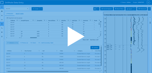
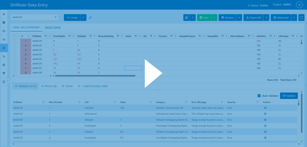
Data Entry Improvements, Built for Field and Office Workflows
Data entry is one of the most critical stages in geology data management.
1point improves this with:
- Full offline capability
- Bulk actions like split, insert, and shift rows
- Tablet-friendly interface for field teams
- Auto-advancing cells and smart dropdowns
- Real-time cross-table validation
This significantly reduces manual errors and speeds up data capture in real-world conditions.
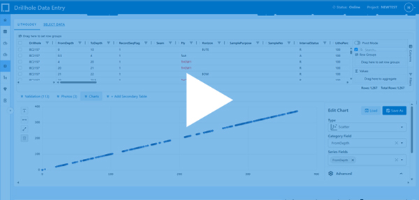
Calculated Columns, Turning Your Geology Database Into a Live Analytical Engine
One of the biggest inefficiencies in traditional geology data management is the constant need to export datasets just to perform calculations in external tools.
Calculated columns remove that dependency completely.
You can now:
- Build formulas directly inside your geology database
- Use cross-table lookups to connect related datasets
- Aggregate values instantly across drillholes, intervals, or samples
This turns your system into a real-time analytical engine, not just a storage layer.
In practical terms, this means:
- Automatically calculating weighted averages across assay intervals
- Creating derived geological metrics without duplication
- Maintaining consistency across datasets without manual intervention
Because calculated fields are read-only during entry, your data remains controlled and auditable.
Watch Calculated Columns in Action
QAQC Charts, Making Data Confidence Visible at All Times
QAQC is often treated as a separate process, which introduces risk and delays.
1point integrates QAQC directly into your geology data workflow.
You can now:
- Visualise multiple drillholes in a single chart
- Apply certified reference values automatically
- Use standard deviation crosslines for anomaly detection
- Perform regression analysis without exporting data
More importantly:
- Save QAQC templates at the personal, project or company level
- Pin charts to dashboards for continuous monitoring
This ensures that data quality is not something you check later; it is something you see constantly.
Watch the QAQC Charts Overview
Assay Management, Connecting Lab Workflows Directly to Your Database
Assay data is often fragmented across emails, spreadsheets, and lab systems.
1point centralises this into a single workflow:
- Create sample dispatches directly from data entry
- Generate composite samples without external tools
- Upload lab results with flexible formats
- Track samples from dispatch to lab confirmation
- Manage duplicates and blank controls for QAQC
This creates a fully traceable, end-to-end assay workflow inside your geology database.
The result is fewer errors, faster turnaround, and higher confidence in your data.
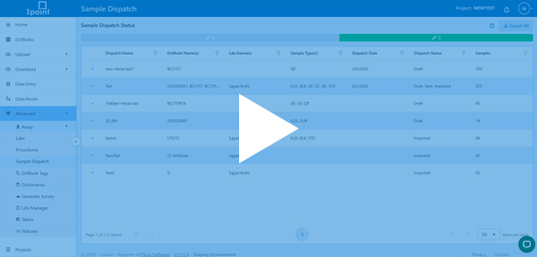
Watch Assay Management in Action
Advanced Export, Giving You Full Control Over Your Data
Exporting data should not limit your workflow.
With Advanced Export, you can:
- Use AI-powered queries to extract precise datasets
- Apply filters across multiple tables instantly
- Export full SQLite databases for offline use
- Integrate seamlessly with modelling and reporting tools
This gives teams the flexibility to move between systems without losing structure or context.
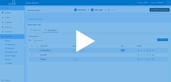
Watch the Advanced Export Demo
LAS Manager Filtering and Tagging, Bringing Order to Geophysics Data
Managing LAS files can quickly become overwhelming.
With the latest updates:
- Apply rule-based filters to large datasets
- Tag files for structured organisation
- Sort and export with clarity
This reduces time spent searching and increases time spent analysing, which is where real value is created.
Watch the LAS Manager Features
Map Enhancements, Turning Spatial Data Into a Decision Tool
Geological data is inherently spatial, and your system should reflect that.
With the latest map updates:
- Style markers based on any dataset column
- Upload DXF files and shapefiles
- Create and manage polygons easily
- Select drillholes within defined spatial boundaries
- Use clustering to manage dense datasets
This transforms maps from static visuals into interactive analytical tools.
Core Photos Update: Connecting Visual Data With Geological Context
Core photos are often stored separately from geological data, which limits their usefulness.
Now you can:
- Upload entire ZIP files in one go
- Zoom and crop images directly within the platform
- Review visuals alongside structured data
This ensures that visual insights are always connected to your dataset.
Cleaner Navigation and Workflow Experience
Small UX improvements create meaningful efficiency gains:
- Simplified navigation structure
- Dedicated Tools tab
- Faster access to key configurations
The system becomes easier to use, faster to learn, and more efficient in daily workflows.
Stripe Integration, Simplifying Operations
With integrated subscription management:
- Payments are handled securely
- Plans are easier to manage
- Administrative overhead is reduced
The Bigger Shift, From Data Storage to Decision Systems
These updates are not isolated improvements; they represent a shift in how geology data management software should function.
Instead of acting as a passive repository, your geology database becomes:
- A live analytical engine
- A centralised workflow system
- A real-time collaboration platform
- A decision acceleration tool
This is what a cloud-native geology platform enables.
Conclusion: Why This Changes How Exploration Teams Operate
The real impact of this release is not just in individual features, but in how those features work together.
When calculated columns automate analysis, QAQC charts ensure constant visibility, assay management connects lab workflows, and data entry syncs seamlessly between field and office, something fundamental changes.
Your workflow stops being fragmented.
Your data stops being delayed.
Your decisions stop being reactive.
Instead, you operate in a system where:
- Data is continuously updated and connected
- Insights are generated in real time
- Quality is visible at every stage
- Teams work from the same source of truth
This has a direct impact on exploration outcomes.
It reduces the time between data capture and decision-making, which is critical in fast-moving projects.
It improves confidence in datasets, which reduces risk.
It allows teams to scale operations without increasing complexity, which is essential for growing exploration programs.
Most importantly, it shifts your geology database from being a record-keeping tool to a strategic asset.
That is the real evolution of modern geology data management software.
Ready to Rethink Your Geology Data Workflow?
If your current system still relies on exports, manual processes, or disconnected tools, you are operating with unnecessary constraints.
1point removes those constraints.
Book a personalised discovery call and see how you can:
- Eliminate manual data handling
- Connect your entire geology workflow
- Gain real-time visibility across all datasets
- Make faster, more confident exploration decisions
You can explore more about the platform and its features here https://www.1point.app/