
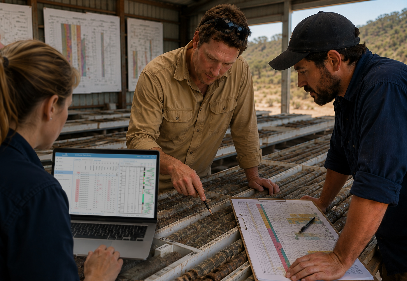

Data doesn’t usually lose your team’s trust because it’s wrong.
It loses trust because nobody can explain it. A number looks off, a version doesn’t match what someone remembers, an interpretation lives in one person’s head, and suddenly the question isn’t “is this accurate?” It’s “can we actually stand behind this?”
That’s a different problem to solve than accuracy. It’s about whether your data holds up when someone asks a hard question. That’s exactly the problem 1point‘s latest features were built to solve.
When a correction quietly breaks something else
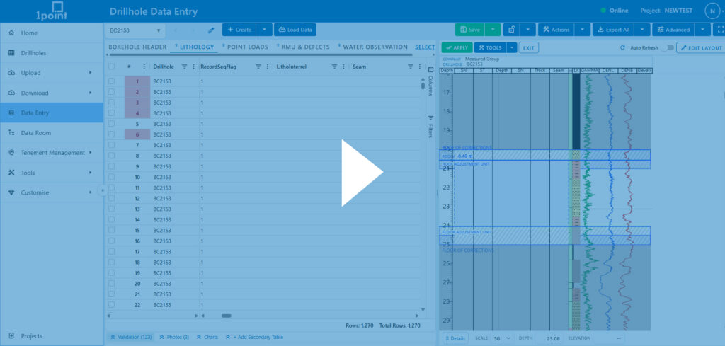
1point’s depth correction mode shows you the full flow-on impact of a change before you commit to it, so a correction never turns into a guessing game.
Every geologist has made a correction and then wondered what it just broke elsewhere. Shift a depth, split an interval, resize a lithology unit, and the flow-on effects aren’t always obvious until they show up somewhere unexpected, sometimes weeks later.
With depth correction mode, you can insert, duplicate, split, resize, and move intervals directly in the graphic log, and the system tracks the impact across related tables automatically. Before anything is applied, you see a full preview of what’s about to change and any validation issues that need attention. And because every correction is captured in change history, it can always be reviewed, undone, or restored.
No more relying on memory. You can see it.
Can you see exactly what changed between two versions of a drillhole?
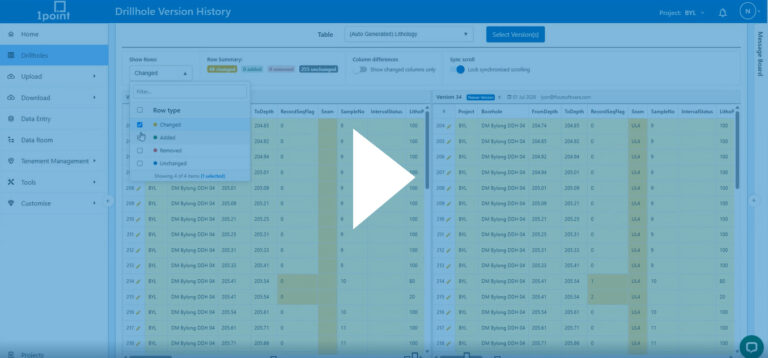
Yes. 1point’s drillhole version comparison tool shows additions, removals, and modifications between any two versions of a drillhole side by side, so you never have to reconstruct a change manually.
Before this, figuring out what changed meant opening two exports and comparing them row by row, an approach that eats hours and still leaves room for error.
It works across any table, not just headers, so a lithology or assay change is just as easy to trace as a header edit. Filter down to what actually changed, or isolate a single column, to find the difference in seconds.
When someone asks how a number got to where it is, the answer is a few clicks away instead of a reconstruction project.
When the best interpretation never makes it back into the system
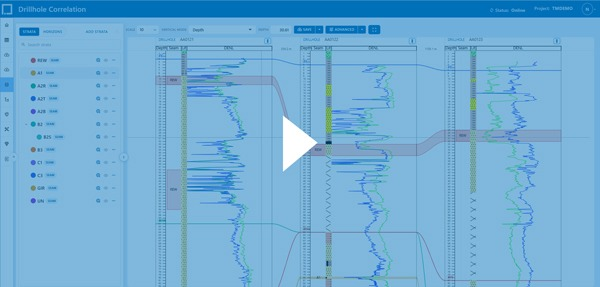
1point’s correlation tool keeps geological interpretation inside the platform, against live data, so it’s never trapped in a separate file only one person can open.
Correlation is where a lot of real geological judgement happens, and it’s also where that judgement is easiest to lose. It gets worked out in a separate tool, on someone’s screen, and never quite makes it back into the system in a form anyone else can follow or rebuild.
Graphic logs, strata hierarchy, correlations, and horizons sit in one workspace. You can align by depth, elevation, seam, or horizon, extend seams across drillholes even when an intermediate hole doesn’t reach the required depth, and save the entire setup, including layout and alignment, as a workspace others can open and build on.
The interpretation stops living in one person’s head and becomes something the team can actually stand behind together.
Is data shared through 1point’s data room secure?
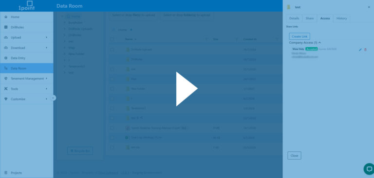
Yes. 1point supports three link types for external sharing through the data room, public, private, and company access, each with expiry controls and permissions admins can edit or revoke at any time.
External sharing is where a lot of quiet risk builds up. A link gets sent, time passes, and nobody’s entirely sure who still has access or what they can do with it.
Public and private links cover the basics: public links are unguessable but open to anyone holding them, while private links require a password, an approved email address, or both. Company access links go further, restricting access to specific people inside your organisation, with access that only switches on once the recipient accepts an invitation. Every link type carries an expiry, so nothing stays open by accident.
You always know who has access, and you can change that in a click if you need to.
Data you can defend, not just data you hope is right
None of this is about adding more process for its own sake. It’s about closing the gap between “we entered this correctly” and “we can prove it, explain it, and stand behind it if someone asks.”
If your team still spends time reconstructing what happened after the fact instead of just showing it, that’s worth changing.
Book a discovery call to see depth correction, drillhole version comparison, correlation, and secure data sharing in 1point.
Frequently asked questions
What is depth correction mode in 1point? Depth correction mode lets geologists insert, duplicate, split, resize, and move lithology intervals directly in the graphic log, with the flow-on impact tracked automatically across related tables and a full preview shown before changes are applied.
How does 1point’s correlation tool work? 1point’s correlation tool combines graphic logs, strata hierarchy, correlations, and horizons in a single workspace, letting geologists align drillholes by depth, elevation, seam, or horizon and save the interpretation as a shareable workspace.